
|
A.F. Church Maps: In 1864, Ambrose F. Church was commissioned by the Nova Scotia legislature to create a series of maps, one for each of Nova Scotia's 18 counties. Each shows the locations of towns and villages, basic topographic features and the names of residents. In many cases, the occupation of prominent townsfolk (clergy, blacksmith, merchant) is also included. Mr. Church completed the series in 1888. This info is the insert in the Cumberland County map. 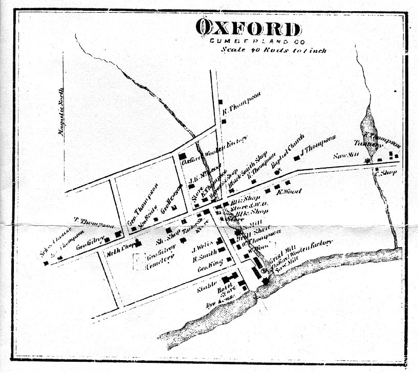 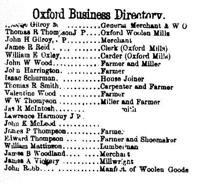 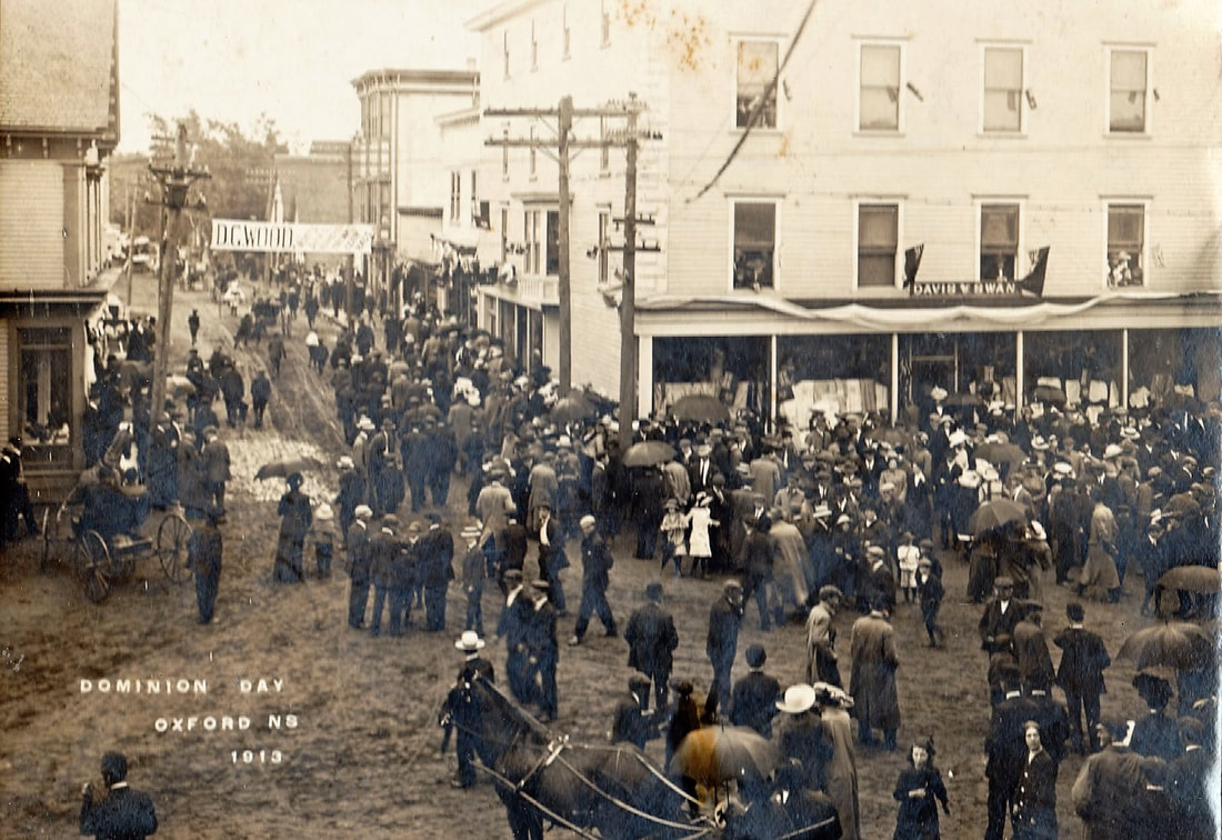 Dominion Day was officially renamed Canada Day on October 27th, 1982
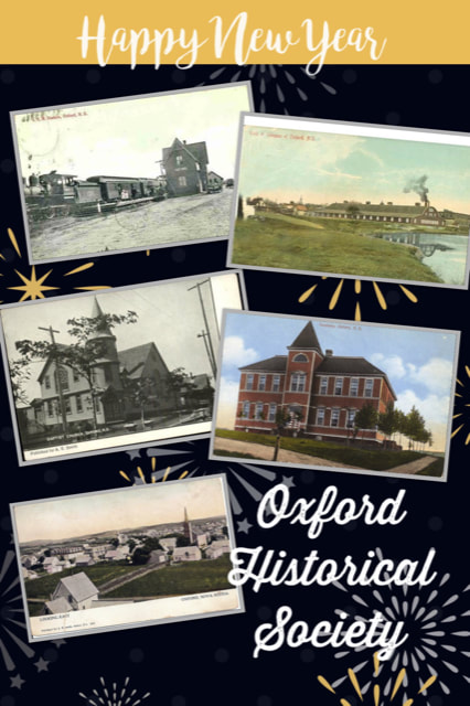
Check out the current Oxford Historical Society window display at Town Hall.
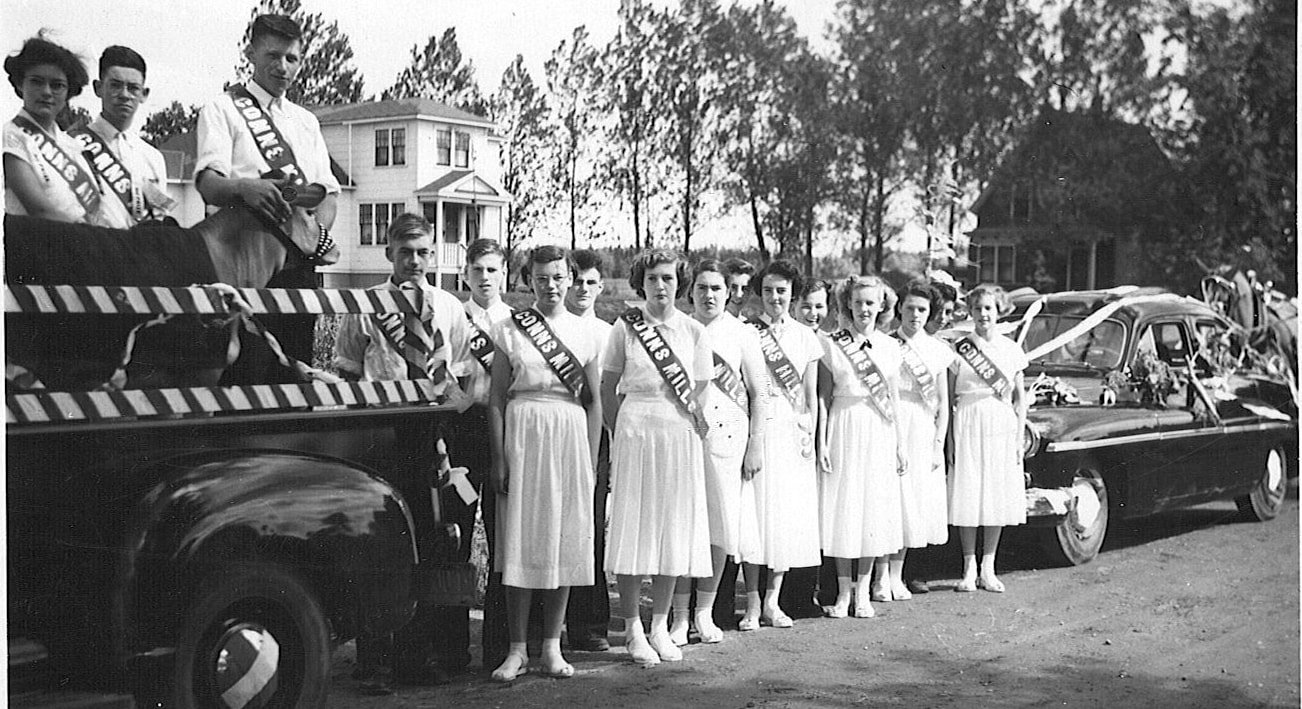
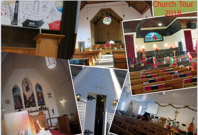
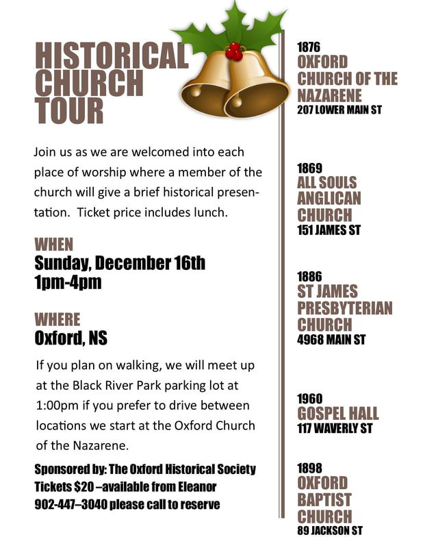
'Tools from the Workshop' A collection of tools from days gone by - on loan to us from Jerry Chapman. Can you identify any or all of them? We would like to thank everyone who joined us for the Historical Church Walking Tour on December 16th. |
Archives
March 2023
Categories |
 RSS Feed